Parent Directory
| Start time | End time | Last Latitude & Longitude | Current (1hr avg) |
|---|---|---|---|
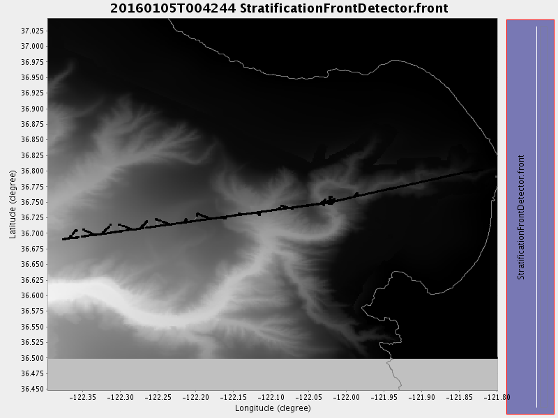
| 2016/01/05 00:42:54 GMT 2016/01/04 16:42:54 local | 2016/01/06 16:41:49 GMT 2016/01/06 08:41:49 local | 36.75074839059869 -122.02259741616312 | 1.6048443021884464 Amp |
| Downloads: | ||||
| shore.nc shore.mat |
shore.kml shore.kmz |
shore.asc shore.dir |
shore.csv shore.log |
argos_24hr.kml argos_week.kml, argos_month.kml |
| Elapsed time since start: ... | Elapsed time since last valid data: ... |