Parent Directory
| Start time | End time | Last Latitude & Longitude | Current (1hr avg) |
|---|---|---|---|
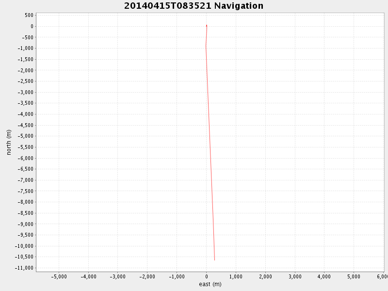
| 2014/04/15 08:35:33 GMT 2014/04/15 01:35:33 local | 2014/04/15 11:21:32 GMT 2014/04/15 04:21:32 local | 36.6421520972111 -121.8772735605985 | 0.5065263933050876 Amp |
| Downloads: | ||||
| shore.nc shore.mat |
shore.kml shore.kmz |
shore.asc shore.dir |
shore.csv shore.log |
argos_24hr.kml argos_week.kml, argos_month.kml |
| Elapsed time since start: ... | Elapsed time since last valid data: ... |