Parent Directory
| Start time | End time | Last Latitude & Longitude | Current (1hr avg) |
|---|---|---|---|
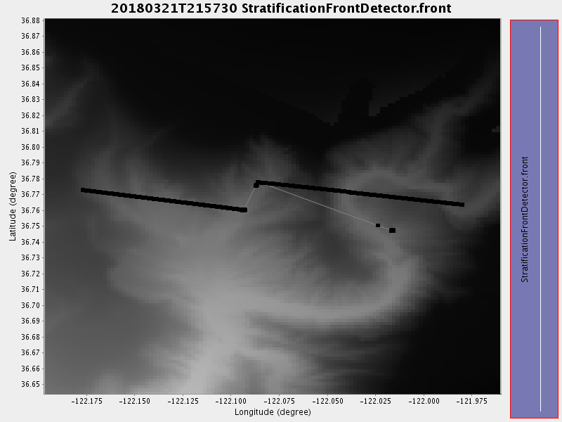
| 2018/03/21 21:57:42 GMT 2018/03/21 14:57:42 local | 2018/03/22 15:35:53 GMT 2018/03/22 08:35:53 local | 36.747001647890926 -122.01599883977508 | -0.0 Amp |
| Downloads: | ||||
| shore.nc shore.mat |
shore.kml shore.kmz |
shore.asc shore.dir |
shore.csv shore.log |
argos_24hr.kml argos_week.kml, argos_month.kml |
| Elapsed time since start: ... | Elapsed time since last valid data: ... |