Parent Directory
| Start time | End time | Last Latitude & Longitude | Current (1hr avg) |
|---|---|---|---|
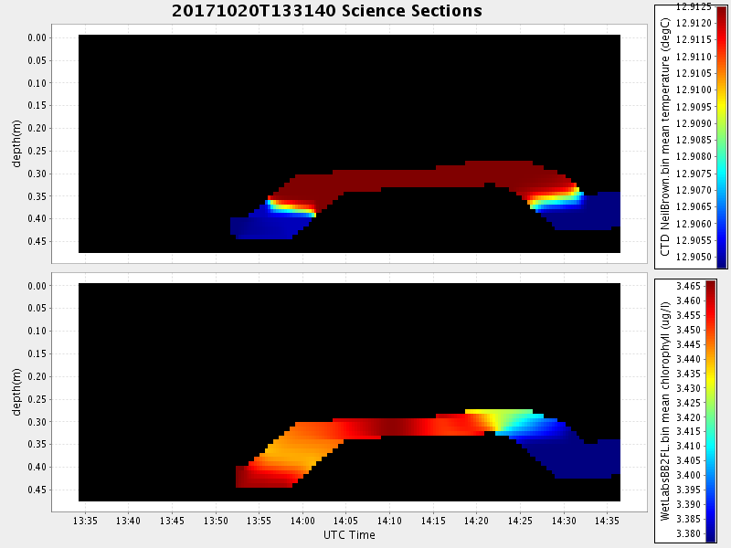
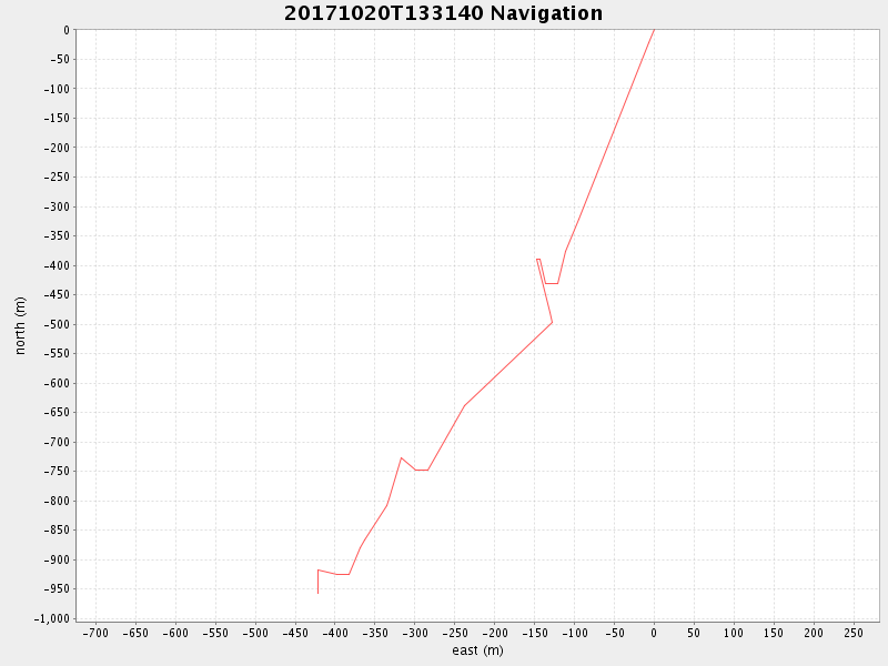
| 2017/10/20 13:32:03 GMT 2017/10/20 06:32:03 local | 2017/10/20 14:36:35 GMT 2017/10/20 07:36:35 local | 36.70533416640441 -122.1061996653158 | 0.8720318390879117 Amp |
| Downloads: | ||||
| shore.nc shore.mat |
shore.kml shore.kmz |
shore.asc shore.dir |
shore.csv shore.log |
argos_24hr.kml argos_week.kml, argos_month.kml |
| Elapsed time since start: ... | Elapsed time since last valid data: ... |