| Name | Last Modified | Size | DAP4 Response Links | DAP2 Response Links | Dataset Viewers | ||||||||
|---|---|---|---|---|---|---|---|---|---|---|---|---|---|
| degrees.gif | 2011-06-30T14:57:22GMT | 5657 |
|
|
|
||||||||
| diff_samples.gif | 2011-06-30T14:57:21GMT | 5587 |
|
|
|
||||||||
| hdop.gif | 2011-06-30T14:57:21GMT | 18333 |
|
|
|
||||||||
| latitude.gif | 2011-06-30T14:57:21GMT | 8159 |
|
|
|
||||||||
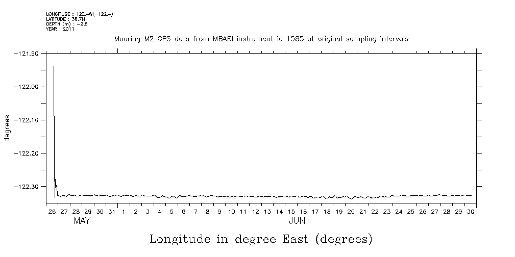
| longitude.gif | 2011-06-30T14:57:21GMT | 6540 |
|
|
|
||||||||
| m2_gps1585_20110526_fullPlots.html | 2011-06-30T14:57:20GMT | 4476 |
|
|
|
||||||||
| m2_gps1585_20110526_fullPlots.jnl | 2011-06-30T14:57:20GMT | 4949 |
|
|
|
||||||||
| m2_gps1585_20110526_fullPlots.out | 2011-06-30T14:57:22GMT | 1311 |
|
|
|
||||||||
| m2_gps1585_20110526_watchCircle_fullPlot.m | 2011-06-30T14:57:11GMT | 11945 |
|
|
|
||||||||
| matlabJob.sh | 2011-06-30T14:57:11GMT | 323 |
|
|
|
||||||||
| meters.gif | 2011-06-30T14:57:22GMT | 11040 |
|
|
|
||||||||
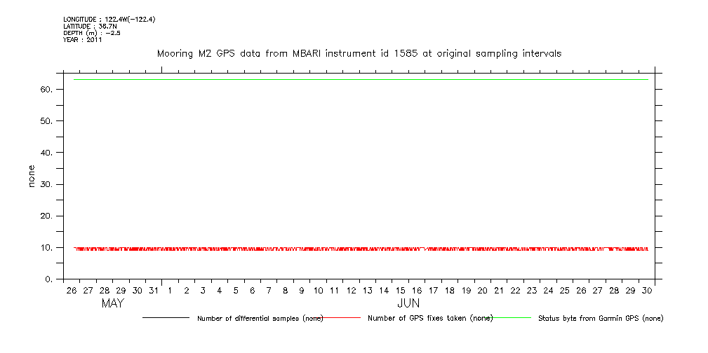
| none.gif | 2011-06-30T14:57:22GMT | 6840 |
|
|
|
||||||||
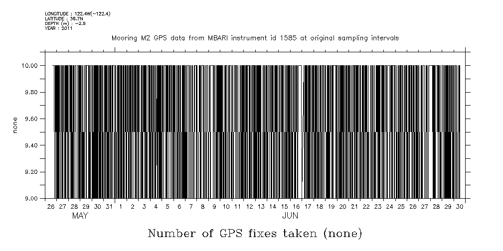
| samples.gif | 2011-06-30T14:57:21GMT | 34891 |
|
|
|
||||||||
| status.gif | 2011-06-30T14:57:22GMT | 5620 |
|
|
|
||||||||
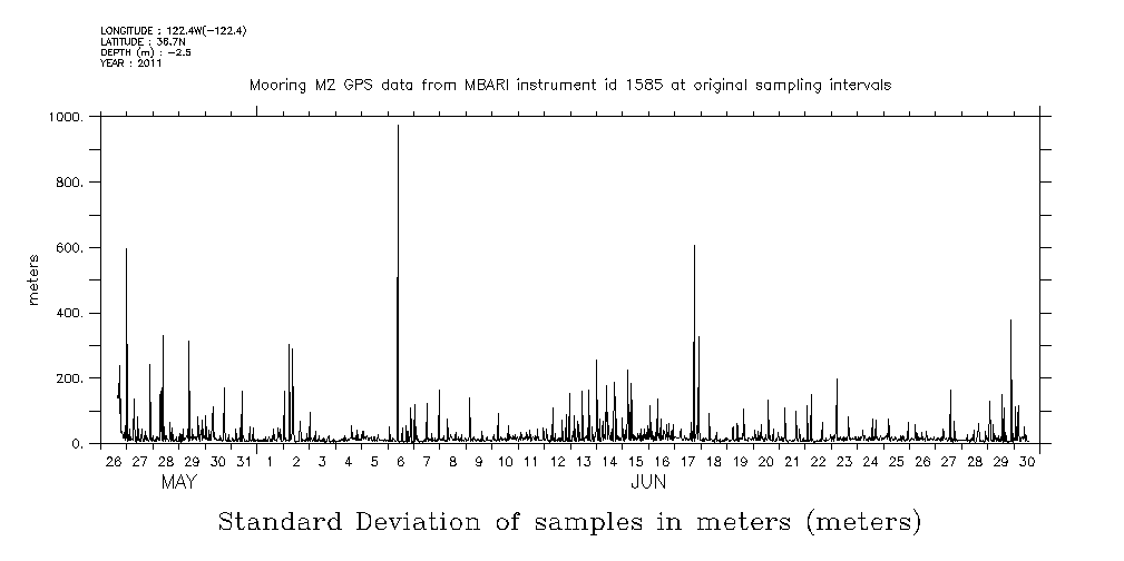
| std_dev.gif | 2011-06-30T14:57:22GMT | 10554 |
|
|
|
||||||||
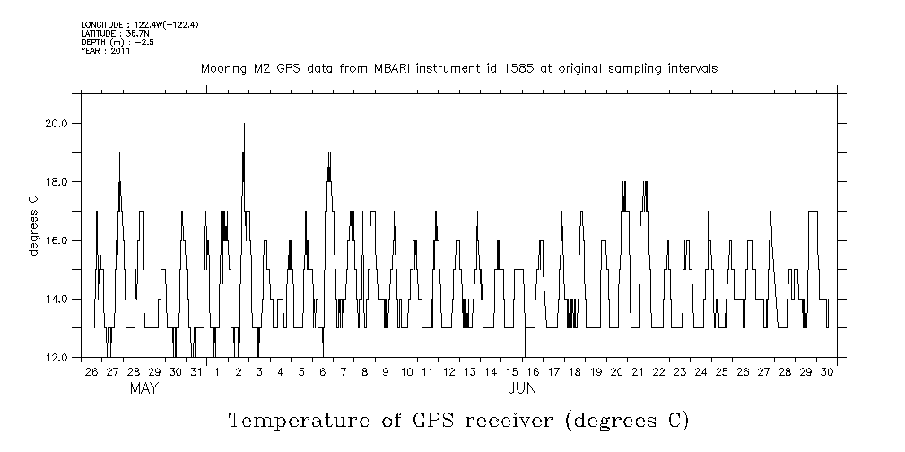
| temp.gif | 2011-06-30T14:57:22GMT | 14386 |
|
|
|
||||||||
| time_on.gif | 2011-06-30T14:57:22GMT | 17363 |
|
|
|
|
THREDDS Catalog XML
|