| Name | Last Modified | Size | DAP4 Response Links | DAP2 Response Links | Dataset Viewers | ||||||||
|---|---|---|---|---|---|---|---|---|---|---|---|---|---|
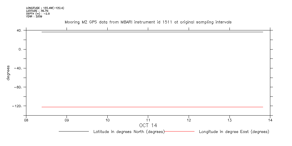
| degrees.gif | 2009-10-14T14:23:39GMT | 4778 |
|
|
|
||||||||
| diff_samples.gif | 2009-10-14T14:23:36GMT | 4721 |
|
|
|
||||||||
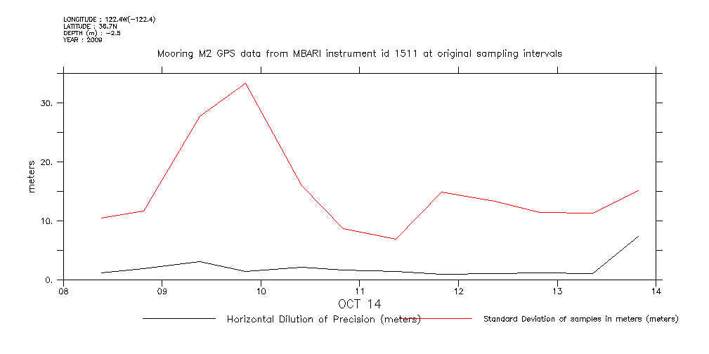
| hdop.gif | 2009-10-14T14:23:36GMT | 5844 |
|
|
|
||||||||
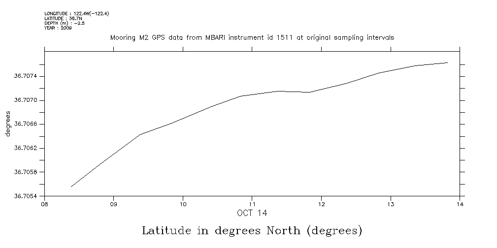
| latitude.gif | 2009-10-14T14:23:37GMT | 5593 |
|
|
|
||||||||
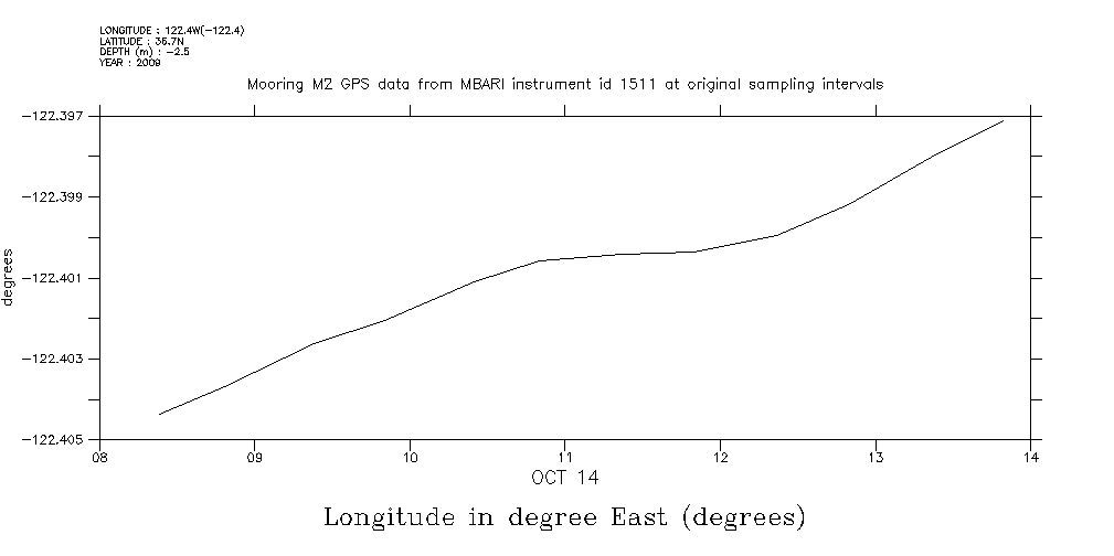
| longitude.gif | 2009-10-14T14:23:37GMT | 5534 |
|
|
|
||||||||
| m2_gps1511_20091014_fullPlots.html | 2009-10-14T14:23:32GMT | 4437 |
|
|
|
||||||||
| m2_gps1511_20091014_fullPlots.jnl | 2009-10-14T14:23:32GMT | 4810 |
|
|
|
||||||||
| m2_gps1511_20091014_fullPlots.out | 2009-10-14T14:23:40GMT | 1245 |
|
|
|
||||||||
| m2_gps1511_20091014_watchCircle_fullPlot.m | 2009-10-14T14:23:16GMT | 11674 |
|
|
|
||||||||
| matlabJob.sh | 2009-10-14T14:23:16GMT | 323 |
|
|
|
||||||||
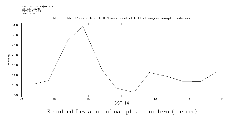
| meters.gif | 2009-10-14T14:23:39GMT | 6223 |
|
|
|
||||||||
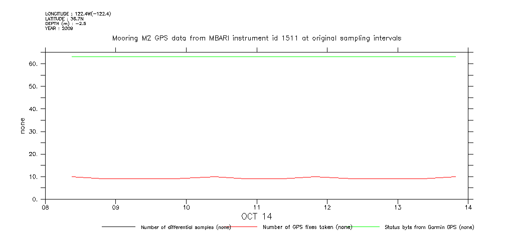
| none.gif | 2009-10-14T14:23:40GMT | 4935 |
|
|
|
||||||||
| samples.gif | 2009-10-14T14:23:37GMT | 7085 |
|
|
|
||||||||
| status.gif | 2009-10-14T14:23:38GMT | 4774 |
|
|
|
||||||||
| std_dev.gif | 2009-10-14T14:23:38GMT | 6346 |
|
|
|
||||||||
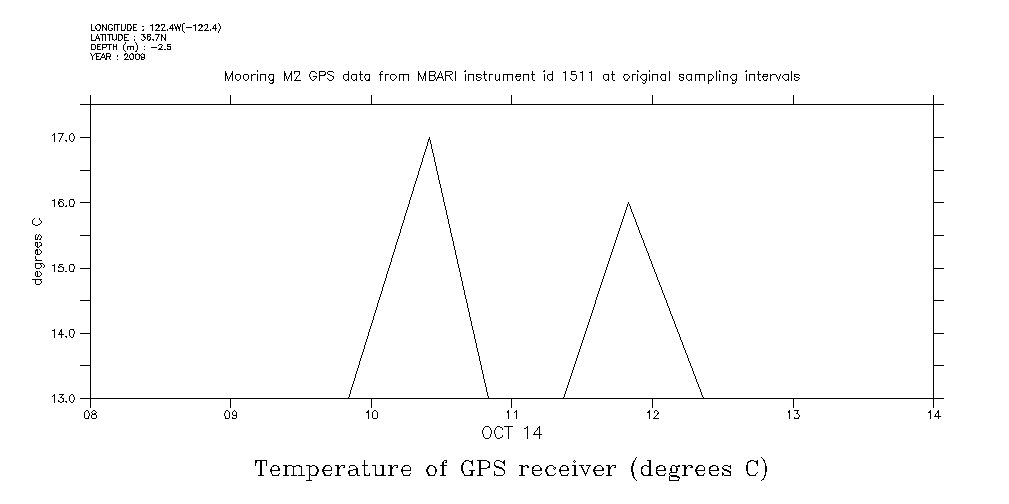
| temp.gif | 2009-10-14T14:23:39GMT | 6254 |
|
|
|
||||||||
| time_on.gif | 2009-10-14T14:23:39GMT | 6219 |
|
|
|
|
THREDDS Catalog XML
|