| Name | Last Modified | Size | DAP4 Response Links | DAP2 Response Links | Dataset Viewers | ||||||||
|---|---|---|---|---|---|---|---|---|---|---|---|---|---|
| degrees.gif | 2012-02-28T19:11:01GMT | 5379 |
|
|
|
||||||||
| diff_samples.gif | 2012-02-28T19:10:59GMT | 5319 |
|
|
|
||||||||
| hdop.gif | 2012-02-28T19:11:00GMT | 24471 |
|
|
|
||||||||
| latitude.gif | 2012-02-28T19:11:00GMT | 24810 |
|
|
|
||||||||
| longitude.gif | 2012-02-28T19:11:00GMT | 23839 |
|
|
|
||||||||
| m1_gps1621_20101027_fullPlots.html | 2012-02-28T19:10:58GMT | 4441 |
|
|
|
||||||||
| m1_gps1621_20101027_fullPlots.jnl | 2012-02-28T19:10:58GMT | 4949 |
|
|
|
||||||||
| m1_gps1621_20101027_fullPlots.out | 2012-02-28T19:11:01GMT | 1299 |
|
|
|
||||||||
| m1_gps1621_20101027_watchCircle_fullPlot.m | 2012-02-28T19:10:47GMT | 11974 |
|
|
|
||||||||
| matlabJob.sh | 2012-02-28T19:10:47GMT | 323 |
|
|
|
||||||||
| meters.gif | 2012-02-28T19:11:01GMT | 9135 |
|
|
|
||||||||
| none.gif | 2012-02-28T19:11:01GMT | 8383 |
|
|
|
||||||||
| samples.gif | 2012-02-28T19:11:00GMT | 5940 |
|
|
|
||||||||
| status.gif | 2012-02-28T19:11:00GMT | 9870 |
|
|
|
||||||||
| std_dev.gif | 2012-02-28T19:11:01GMT | 8844 |
|
|
|
||||||||
| temp.gif | 2012-02-28T19:11:01GMT | 9183 |
|
|
|
||||||||
| time_on.gif | 2012-02-28T19:11:01GMT | 6061 |
|
|
|
||||||||
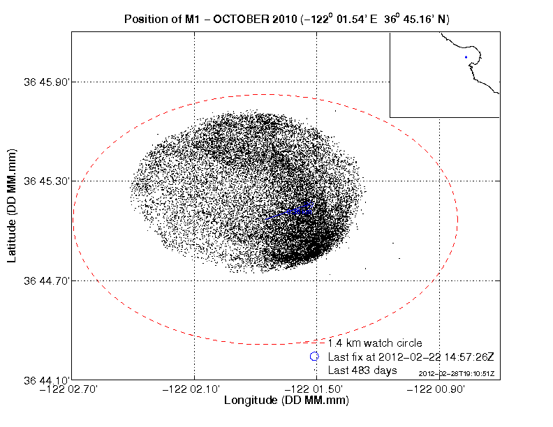
| watchCircle.png | 2012-02-28T19:10:52GMT | 30621 |
|
|
|
|
THREDDS Catalog XML
|