Parent Directory
Parent Directory
Parent Directory
| Start time | End time | Last Latitude & Longitude |
Current (1hr avg) |
|---|---|---|---|
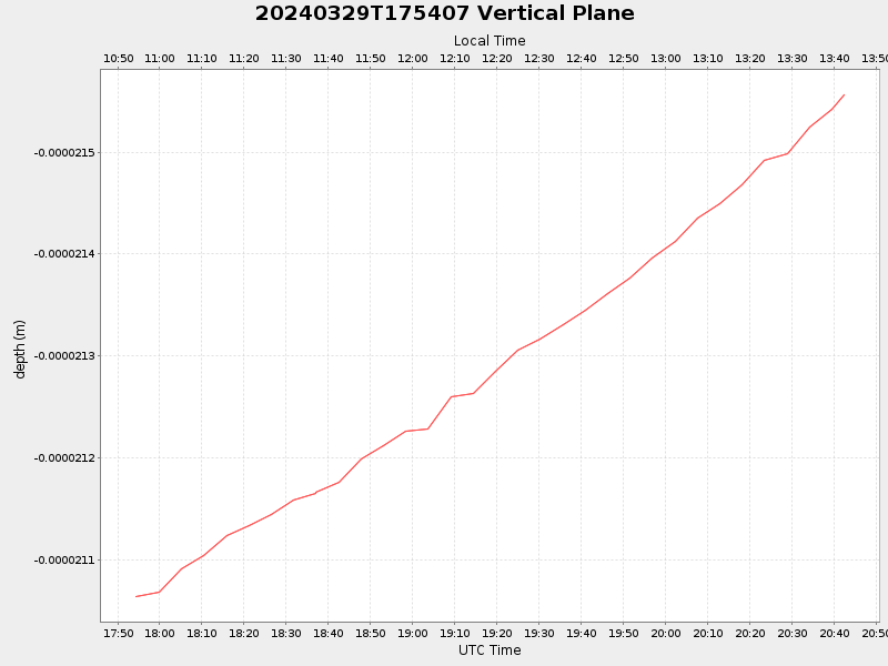
| 2024/03/29 17:54:25 GMT 2024/03/29 10:54:25 local |
2024/03/29 20:42:20 GMT 2024/03/29 13:42:20 local |
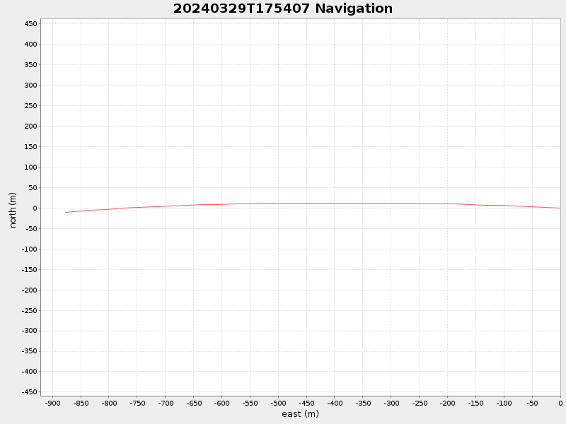
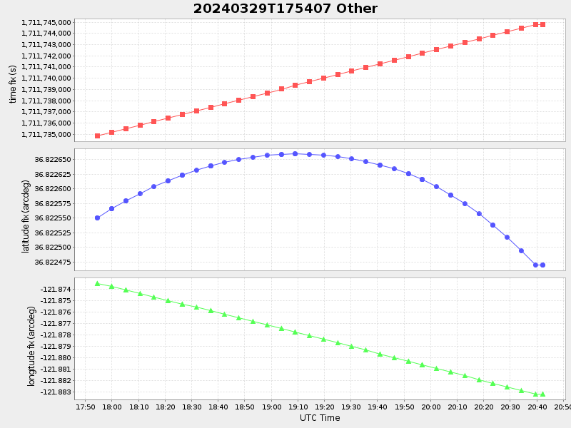
36.82245622341314 -121.88334179013977 |
NaN Amp |
| Downloads: | ||||
| shore.nc shore.mat |
shore.kml shore.kmz |
shore.asc shore.dir |
shore.csv shore.log |
argos_24hr.kml argos_week.kml, argos_month.kml |
| Elapsed time since start: ... | Elapsed time since last valid data: ... |