Parent Directory
Parent Directory
Parent Directory
| Start time | End time | Last Latitude & Longitude |
Current (1hr avg) |
|---|---|---|---|
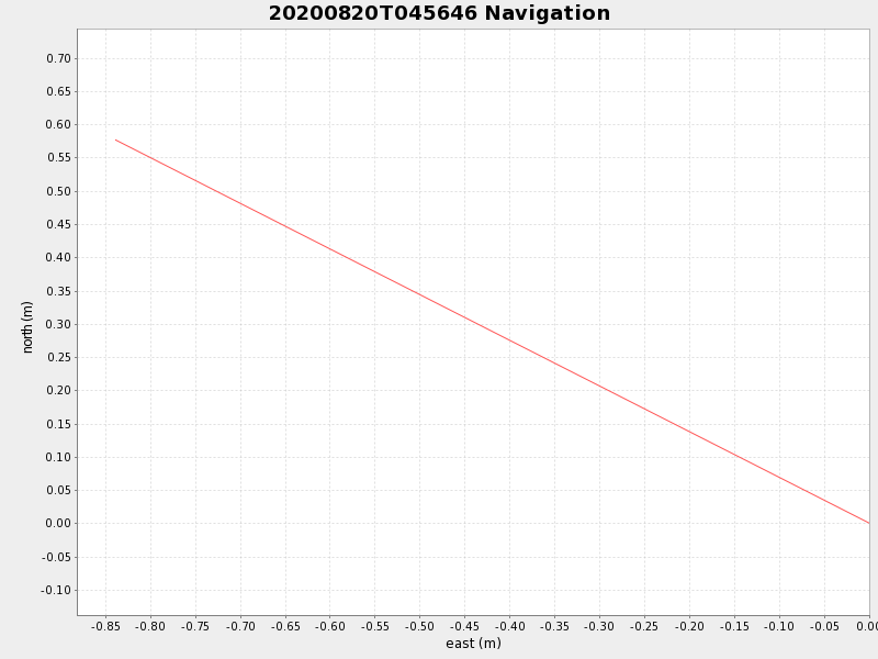
| 2020/08/20 04:56:46 GMT 2020/08/19 21:56:46 local |
2020/08/20 05:02:11 GMT 2020/08/19 22:02:11 local |
36.80340942465827 -121.82221646958102 |
NaN Amp |
| Downloads: | ||||
| shore.nc shore.mat |
shore.kml shore.kmz |
shore.asc shore.dir |
shore.csv shore.log |
argos_24hr.kml argos_week.kml, argos_month.kml |
| Elapsed time since start: ... | Elapsed time since last valid data: ... |