Parent Directory
Parent Directory
Parent Directory
| Start time | End time | Last Latitude & Longitude |
Current (1hr avg) |
|---|---|---|---|
| 2021/11/29 17:38:51 GMT 2021/11/29 09:38:51 local |
2021/11/29 19:49:17 GMT 2021/11/29 11:49:17 local |
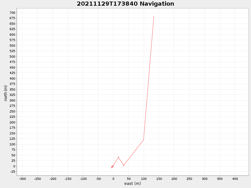
36.80851766660937 -121.78558533296645 |
-0.0 Amp |
| Downloads: | ||||
| shore.nc shore.mat |
shore.kml shore.kmz |
shore.asc shore.dir |
shore.csv shore.log |
argos_24hr.kml argos_week.kml, argos_month.kml |
| Elapsed time since start: ... | Elapsed time since last valid data: ... |