Parent Directory
Parent Directory
Parent Directory
| Start time | End time | Last Latitude & Longitude |
Current (1hr avg) |
|---|---|---|---|
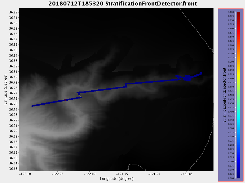
| 2018/07/12 18:53:32 GMT 2018/07/12 11:53:32 local |
2018/07/13 15:39:46 GMT 2018/07/13 08:39:46 local |
36.807433340728096 -121.82739161853777 |
17.736264704982077 Amp |
| Downloads: | ||||
| shore.nc shore.mat |
shore.kml shore.kmz |
shore.asc shore.dir |
shore.csv shore.log |
argos_24hr.kml argos_week.kml, argos_month.kml |
| Elapsed time since start: ... | Elapsed time since last valid data: ... |