Parent Directory
Parent Directory
Parent Directory
| Start time | End time | Last Latitude & Longitude |
Current (1hr avg) |
|---|---|---|---|
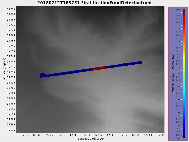
| 2018/07/12 16:38:07 GMT 2018/07/12 09:38:07 local |
2018/07/12 18:53:18 GMT 2018/07/12 11:53:18 local |
36.73930713088159 -122.0855970216719 |
-0.0 Amp |
| Downloads: | ||||
| shore.nc shore.mat |
shore.kml shore.kmz |
shore.asc shore.dir |
shore.csv shore.log |
argos_24hr.kml argos_week.kml, argos_month.kml |
| Elapsed time since start: ... | Elapsed time since last valid data: ... |