Parent Directory
| Start time | End time | Last Latitude & Longitude | Current (1hr avg) |
|---|---|---|---|
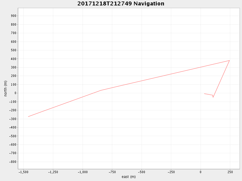
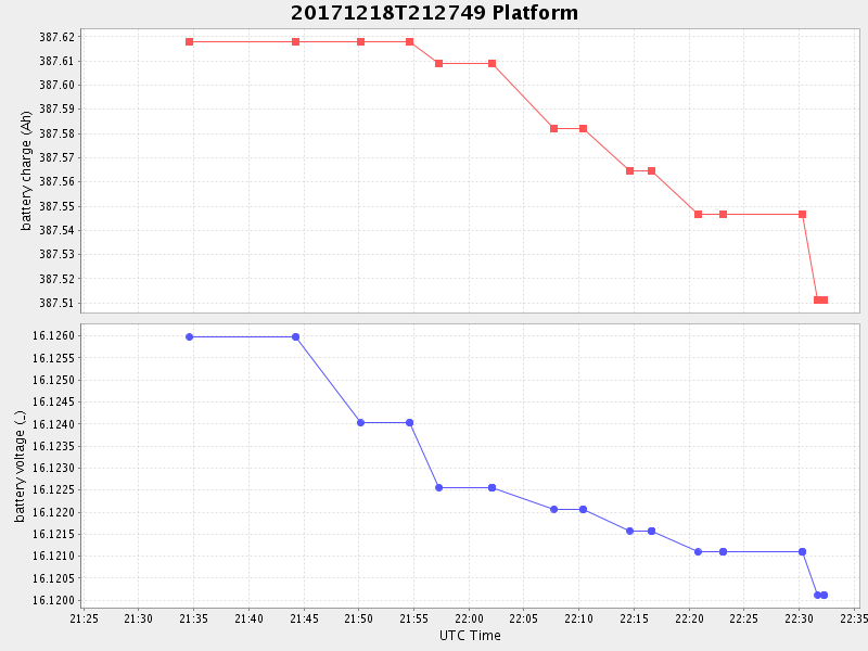
| 2017/12/18 21:27:59 GMT 2017/12/18 13:27:59 local | 2017/12/18 22:32:15 GMT 2017/12/18 14:32:15 local | 36.80026616651627 -121.80435733250033 | 0.11106372895747346 Amp |
| Downloads: | ||||
| shore.nc shore.mat |
shore.kml shore.kmz |
shore.asc shore.dir |
shore.csv shore.log |
argos_24hr.kml argos_week.kml, argos_month.kml |
| Elapsed time since start: ... | Elapsed time since last valid data: ... |