Parent Directory
| Start time | End time | Last Latitude & Longitude | Current (1hr avg) |
|---|---|---|---|
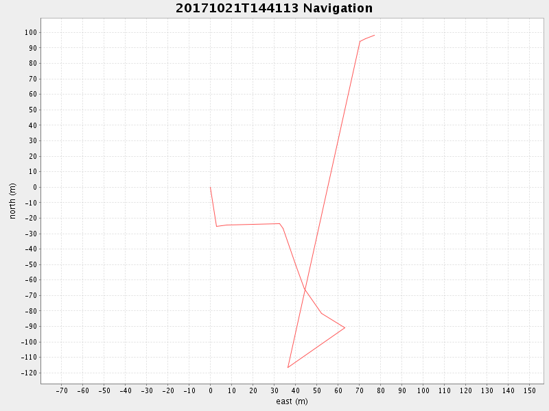
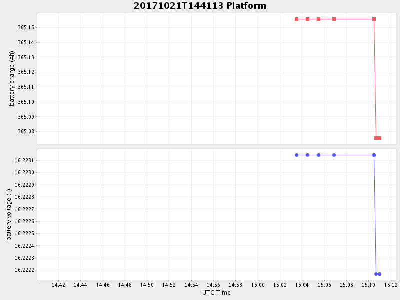
| 2017/10/21 14:41:33 GMT 2017/10/21 07:41:33 local | 2017/10/21 15:10:58 GMT 2017/10/21 08:10:58 local | 36.65633159952665 -122.36073273953592 | 0.6424305958334644 Amp |
| Downloads: | ||||
| shore.nc shore.mat |
shore.kml shore.kmz |
shore.asc shore.dir |
shore.csv shore.log |
argos_24hr.kml argos_week.kml, argos_month.kml |
| Elapsed time since start: ... | Elapsed time since last valid data: ... |