Parent Directory
| Start time | End time | Last Latitude & Longitude | Current (1hr avg) |
|---|---|---|---|
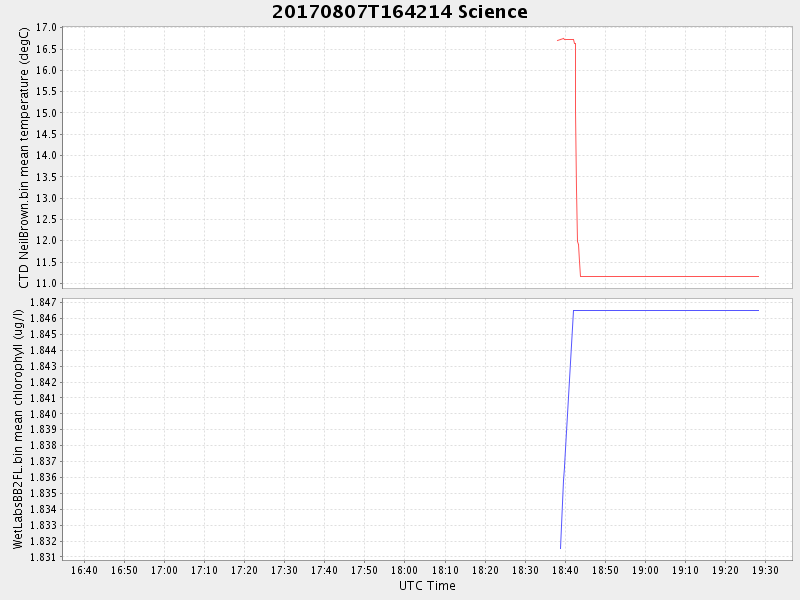
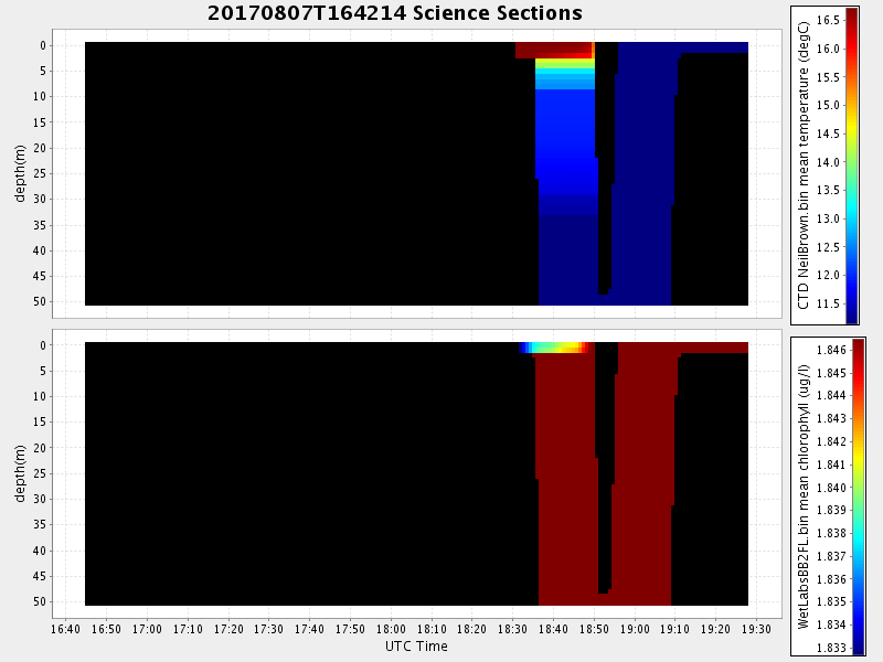
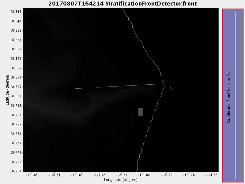
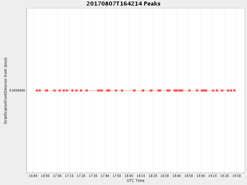
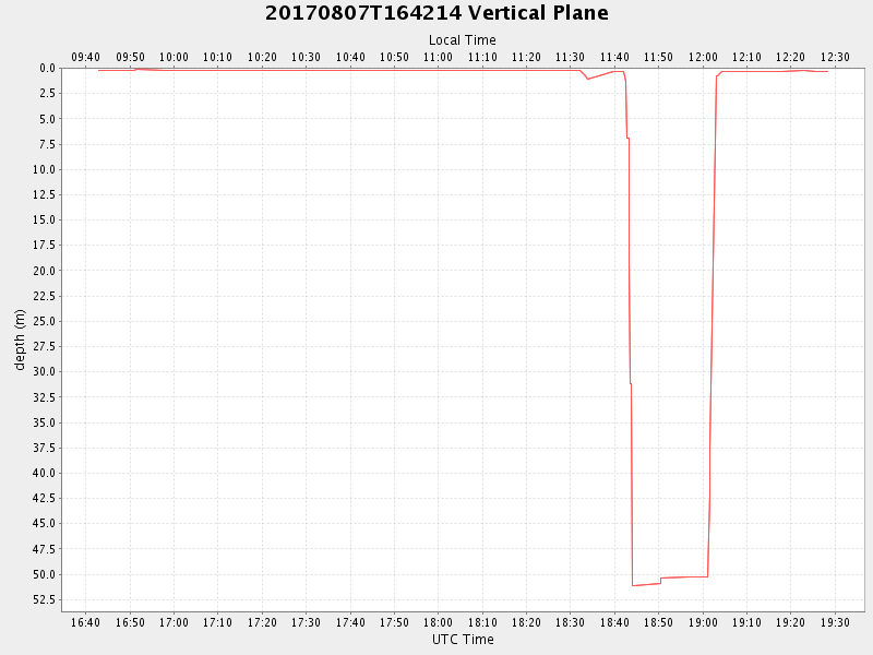
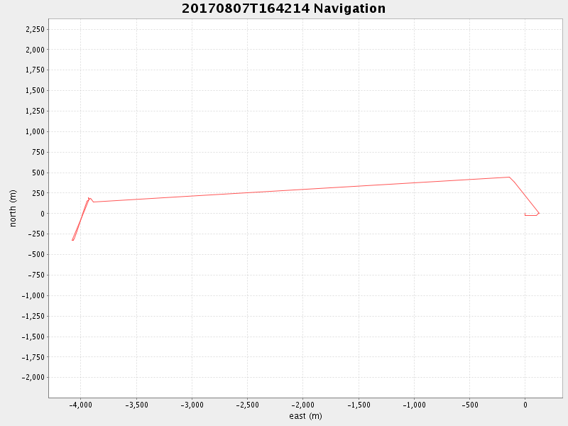
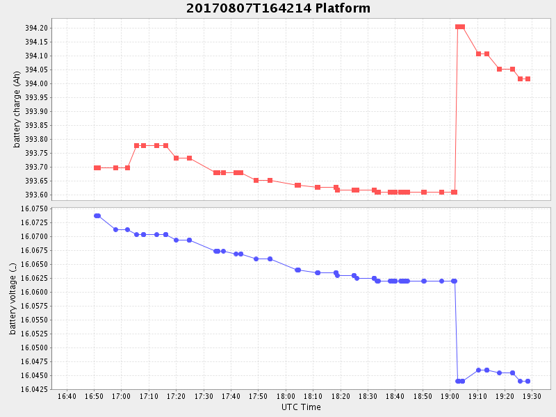
| 2017/08/07 16:42:53 GMT 2017/08/07 09:42:53 local | 2017/08/07 19:28:21 GMT 2017/08/07 12:28:21 local | 36.80435483306291 -121.83229083185412 | -0.3849169078544368 Amp |
| Downloads: | ||||
| shore.nc shore.mat |
shore.kml shore.kmz |
shore.asc shore.dir |
shore.csv shore.log |
argos_24hr.kml argos_week.kml, argos_month.kml |
| Elapsed time since start: ... | Elapsed time since last valid data: ... |