Parent Directory
| Start time | End time | Last Latitude & Longitude | Current (1hr avg) |
|---|---|---|---|
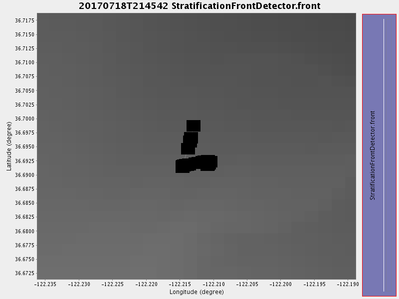
| 2017/07/18 21:46:07 GMT 2017/07/18 14:46:07 local | 2017/07/18 22:47:06 GMT 2017/07/18 15:47:06 local | 36.69231355759324 -122.21098058351676 | 0.6888976114265151 Amp |
| Downloads: | ||||
| shore.nc shore.mat |
shore.kml shore.kmz |
shore.asc shore.dir |
shore.csv shore.log |
argos_24hr.kml argos_week.kml, argos_month.kml |
| Elapsed time since start: ... | Elapsed time since last valid data: ... |