Parent Directory
| Start time | End time | Last Latitude & Longitude | Current (1hr avg) |
|---|---|---|---|
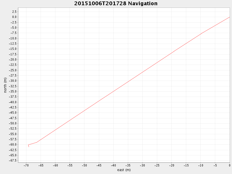
| 2015/10/06 20:17:39 GMT 2015/10/06 13:17:39 local | 2015/10/06 20:27:44 GMT 2015/10/06 13:27:44 local | 36.9580870725463 -122.17844618135965 | -0.0 Amp |
| Downloads: | ||||
| shore.nc shore.mat |
shore.kml shore.kmz |
shore.asc shore.dir |
shore.csv shore.log |
argos_24hr.kml argos_week.kml, argos_month.kml |
| Elapsed time since start: ... | Elapsed time since last valid data: ... |