Parent Directory
| Start time | End time | Last Latitude & Longitude | Current (1hr avg) |
|---|---|---|---|
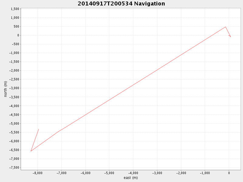
| 2014/09/17 20:05:46 GMT 2014/09/17 13:05:46 local | 2014/09/17 21:22:00 GMT 2014/09/17 14:22:00 local | 36.754964333201514 -121.8772588330031 | 0.1400226144989971 Amp |
| Downloads: | ||||
| shore.nc shore.mat |
shore.kml shore.kmz |
shore.asc shore.dir |
shore.csv shore.log |
argos_24hr.kml argos_week.kml, argos_month.kml |
| Elapsed time since start: ... | Elapsed time since last valid data: ... |