Parent Directory
| Start time | End time | Last Latitude & Longitude | Current (1hr avg) |
|---|---|---|---|
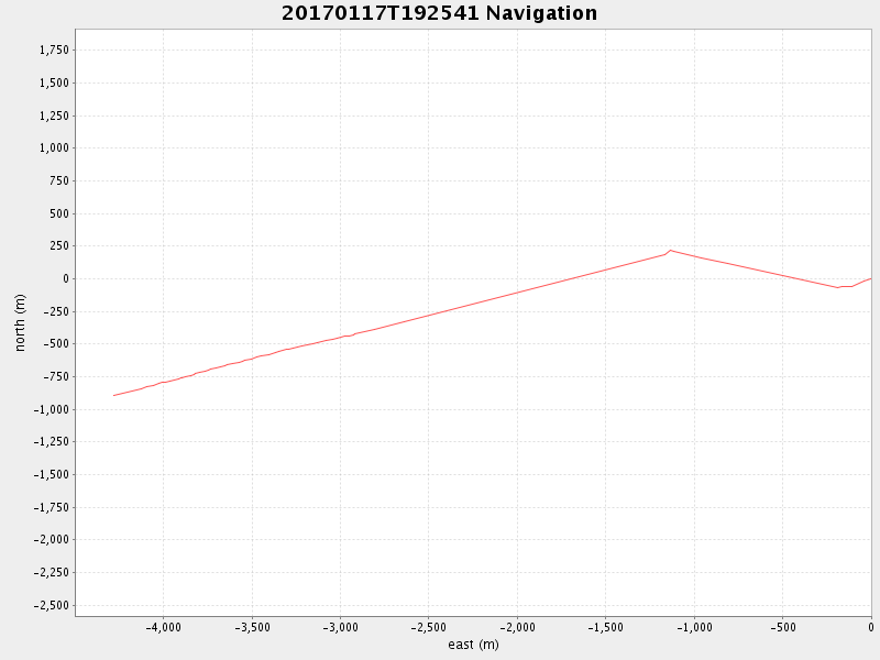
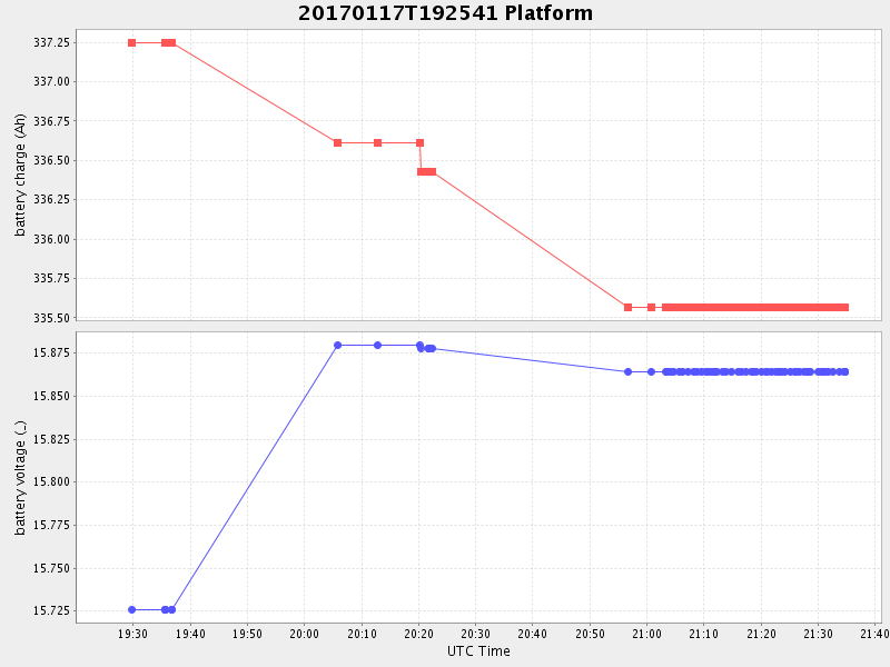
| 2017/01/17 19:26:28 GMT 2017/01/17 11:26:28 local | 2017/01/17 21:34:38 GMT 2017/01/17 13:34:38 local | 36.7871493330796 -121.88932833255288 | 0.715970459683865 Amp |
| Downloads: | ||||
| shore.nc shore.mat |
shore.kml shore.kmz |
shore.asc shore.dir |
shore.csv shore.log |
argos_24hr.kml argos_week.kml, argos_month.kml |
| Elapsed time since start: ... | Elapsed time since last valid data: ... |